Philip Frankel & Co. in Lower Town, Harpers Ferry
My father and I drove over to Harpers Ferry in West Virginia on a weekday in late June to see what we could of the town and the National Historical Park, which occupies some of the town and surrounding area. We’d thought the rain would clear before we arrived but it stuck around a bit longer in the form of a light drizzle. But we were there, so we boarded the free shuttle bus which took us down to Lower Town, an area that’s part of the park and full of museums showcasing the history of the town.
Adams Express Office
High Street and Shenandoah Street
Even with the drizzle, it ended up being a perfect day to visit this part of town. I think the rain kept some folks away, and we arrived early enough to beat some of the tour buses that arrived as we were leaving, which meant there were very few other people around on the streets. And the drizzle added its own charm to the scenery, which I’m hopeful my photography might help convey.
Looking up High Street from Lower Town in Harpers Ferry, West Virginia
Dry Goods Store
Harpers Ferry is a beautiful town with some fantastic old buildings and loads of history to learn about and it’s well worth the visit. The Appalachian Trail passes through town and Harpers Ferry is considered the approximate halfway point of the trail. Do keep in mind it is a VERY hilly town, though Lower Town is flat and easy to walk around. It can also get very busy, especially on weekends and during autumn when the changing colors of the leaves turn the town into a series of beautiful paintings.
The corner of Shenandoah and Market Streets
I hope we’re able to return to Harpers Ferry and see some of the other sights in the area. It sits at a point where the Potomac River and Shenandoah River come together and are squeezed between cliffs on three sides. There are also active railroads and a train station/depot in town, as well as a walking bridge across the Potomac that parallels one of the railroad bridges. There’s much to see and do.
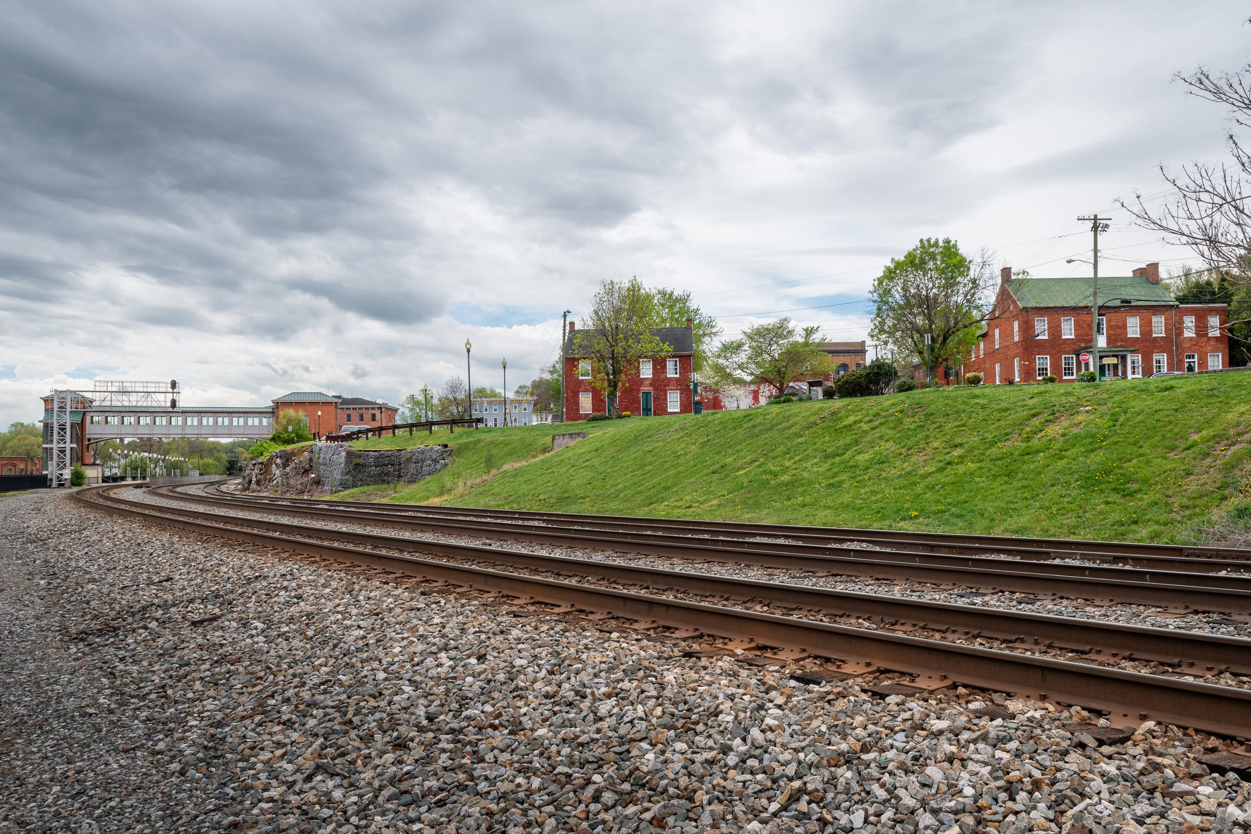
The Winchester Potomac Railroad runs through Harpers Ferry
A Lower Town stairwell
Do you enjoy these posts?
Sign up to receive periodic emails with updates and thoughts. Don’t worry, I won’t spam you. And please consider purchasing artwork or products from my online store, and using my affiliate links in the sidebar to the right when shopping online.
I appreciate your support!