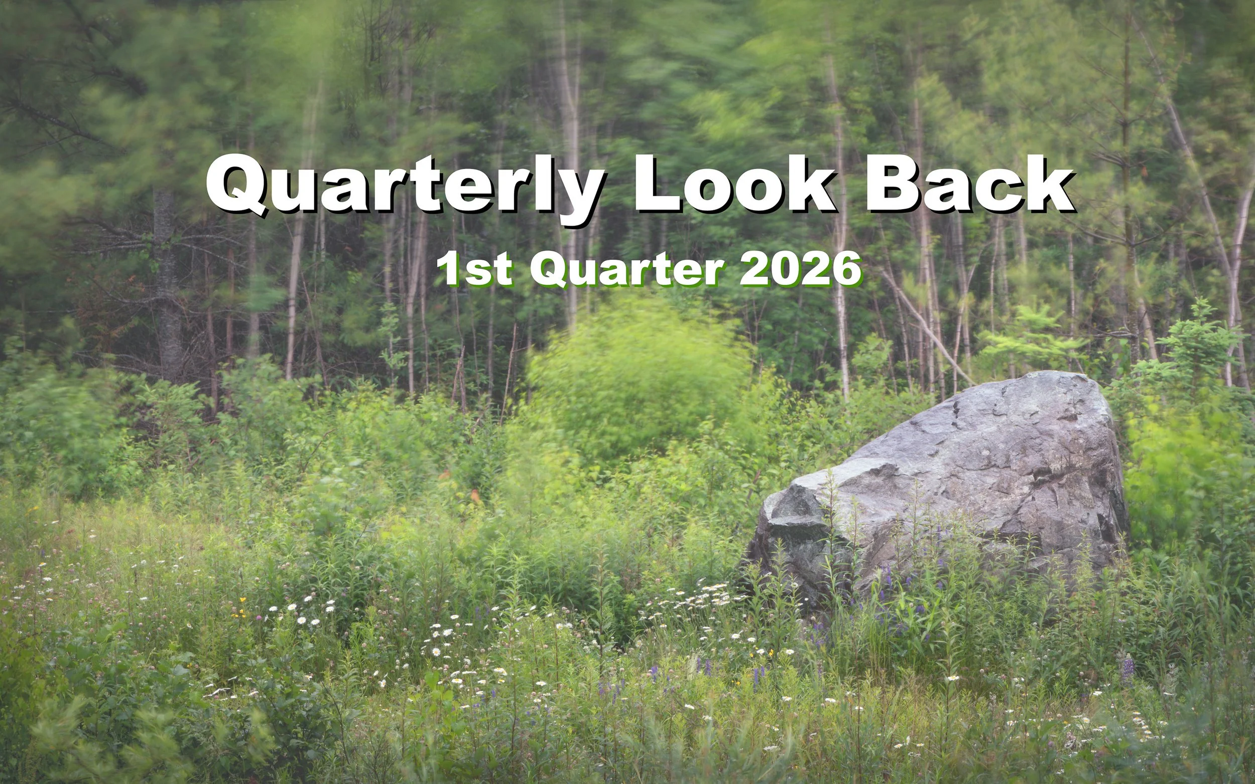
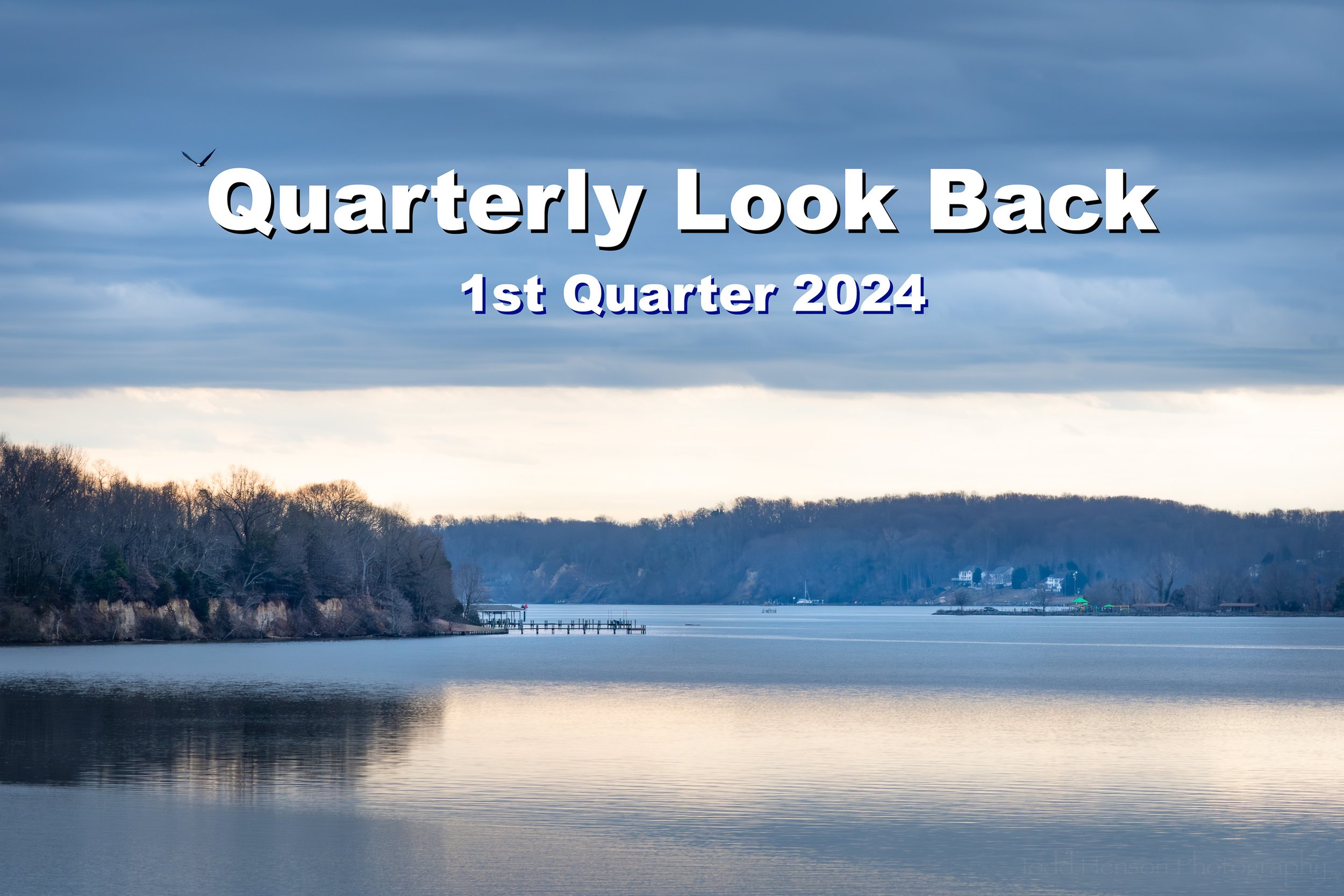
Looking back at the second quarter of 2026
It’s been quite a quarter, but instead of trying to come up with a nice pithy intro, how about we pretend I did and just move on to the next section? 😃
Please enjoy this look back at the second quarter of 2026.
Photography
I’ve not gotten out photographing very often and yet it’s still been a fairly good quarter.
I was fortunate to have one of my photographs published in Ducks Unlimited’s Spring 2026 issue of Puddler, their magazine for younger readers, which came about because of my post about the nictitating membranes of birds.
And I was able to see the results of one of my photographs of a luna moth being used for a poster and website by ETH Zürich’s Master of Advanced Studies in Urban and Territorial Design in Switzerland.
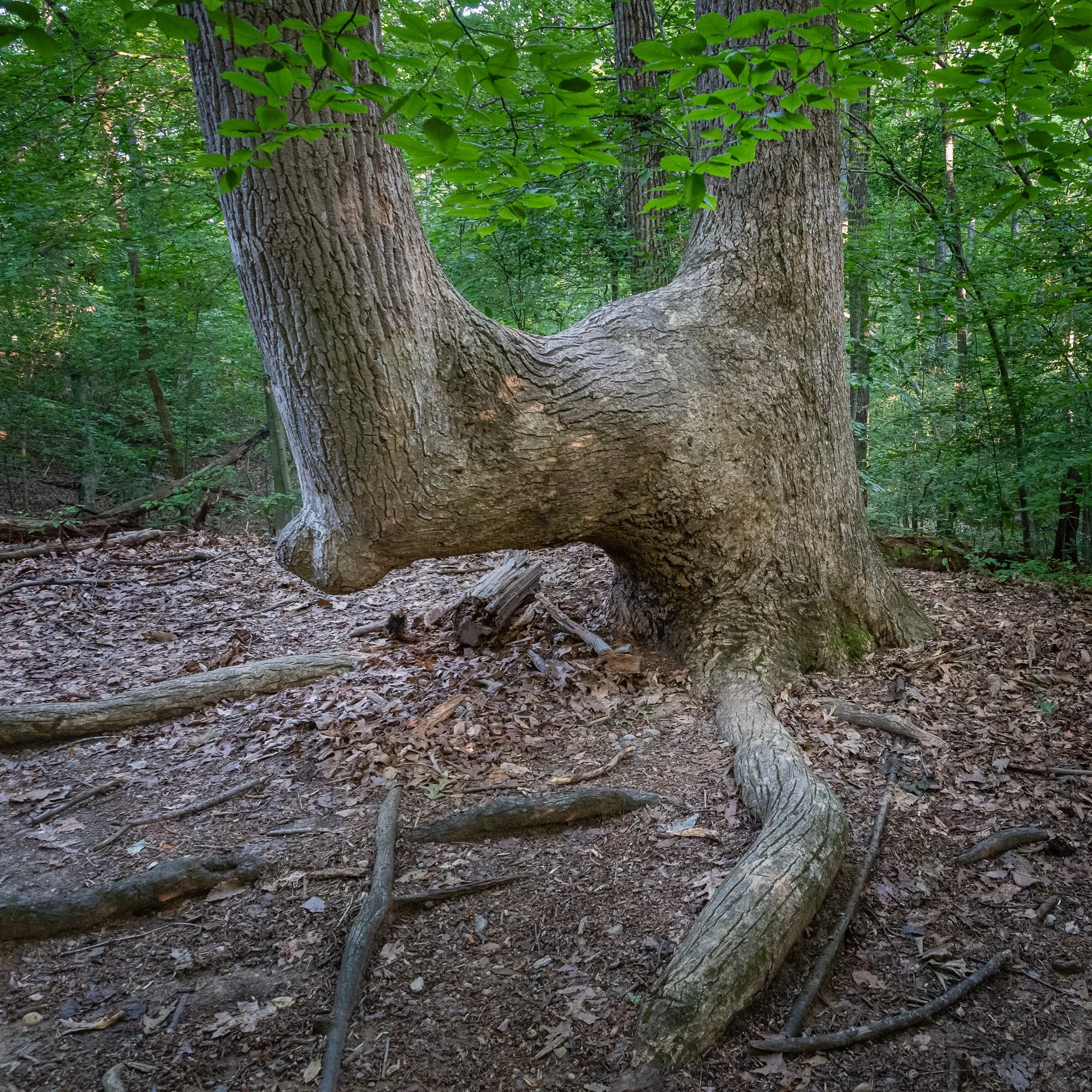
On the blog I’ve continued posting both new photographs and those from my archive. Below are the posts I published this quarter. Please take a look back at any you missed or would like to see again.

Architecture
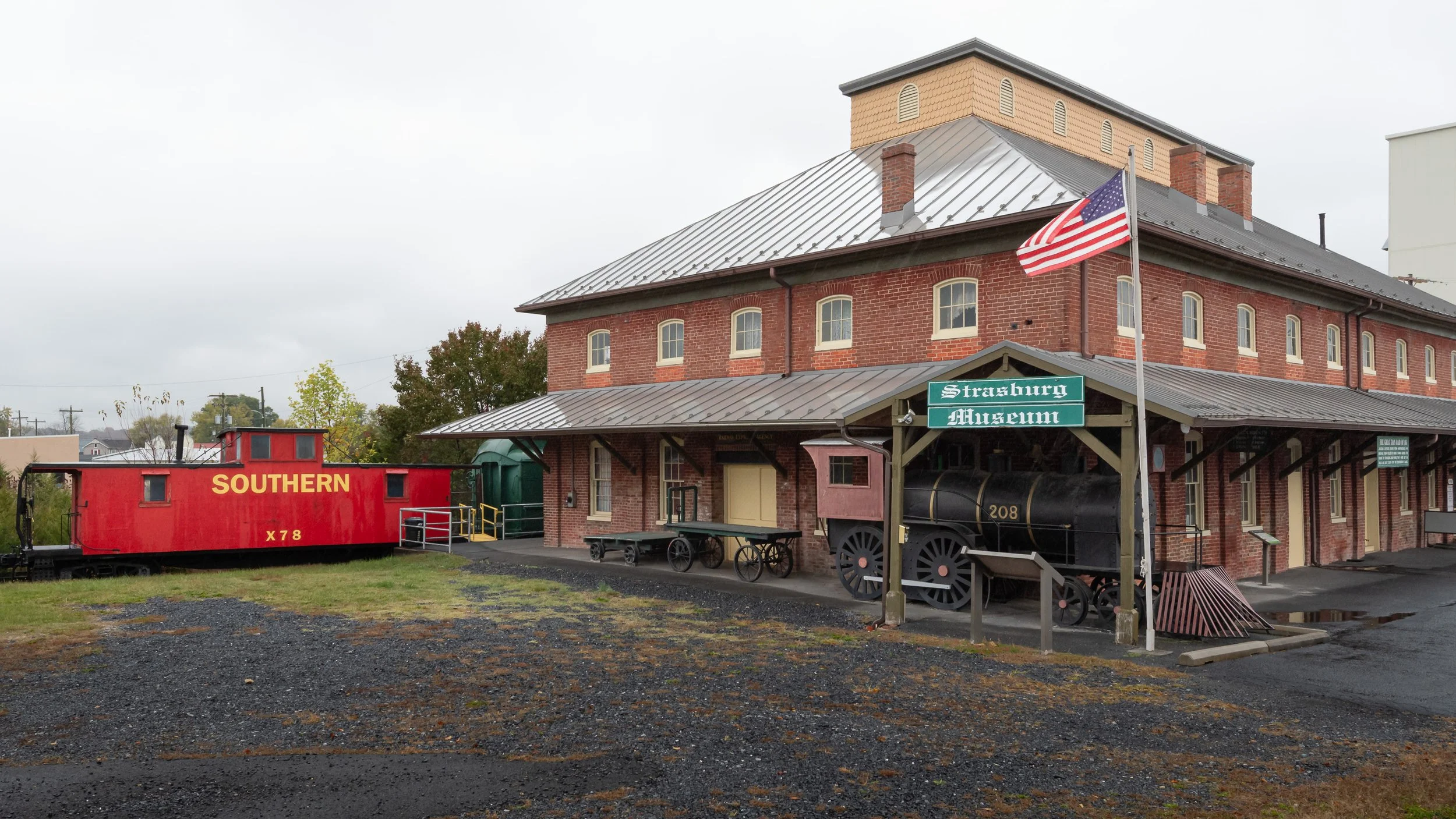
Chapman-Beverley Mill (Virginia)
Mostly Photos
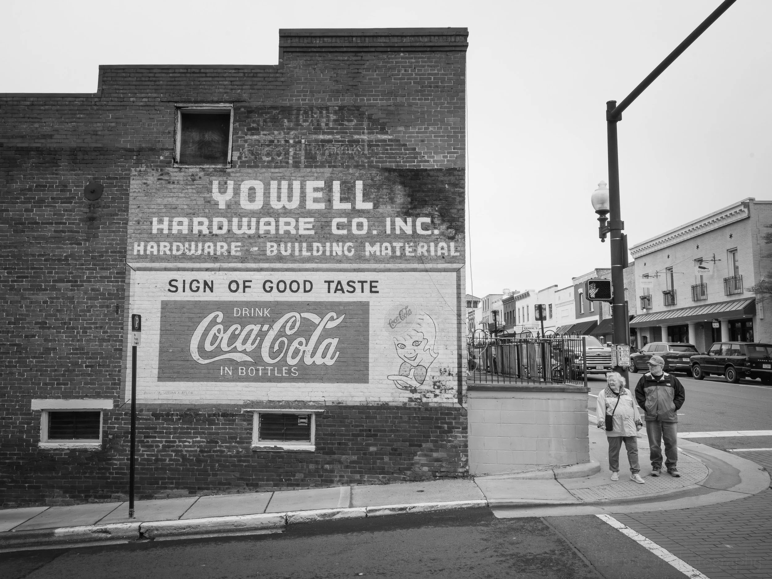
Street Scenes on East Davis Street, Culpeper, Virginia
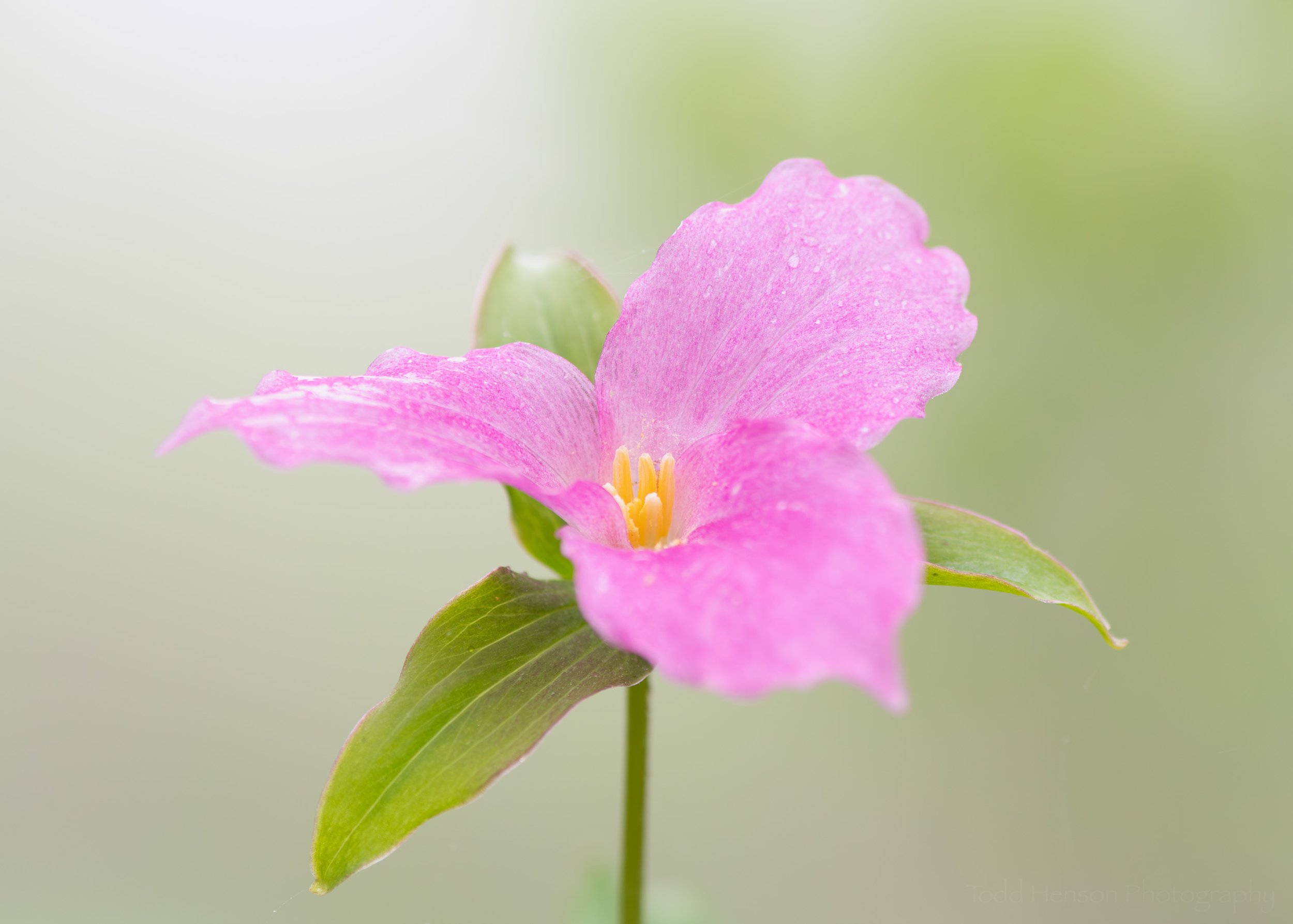
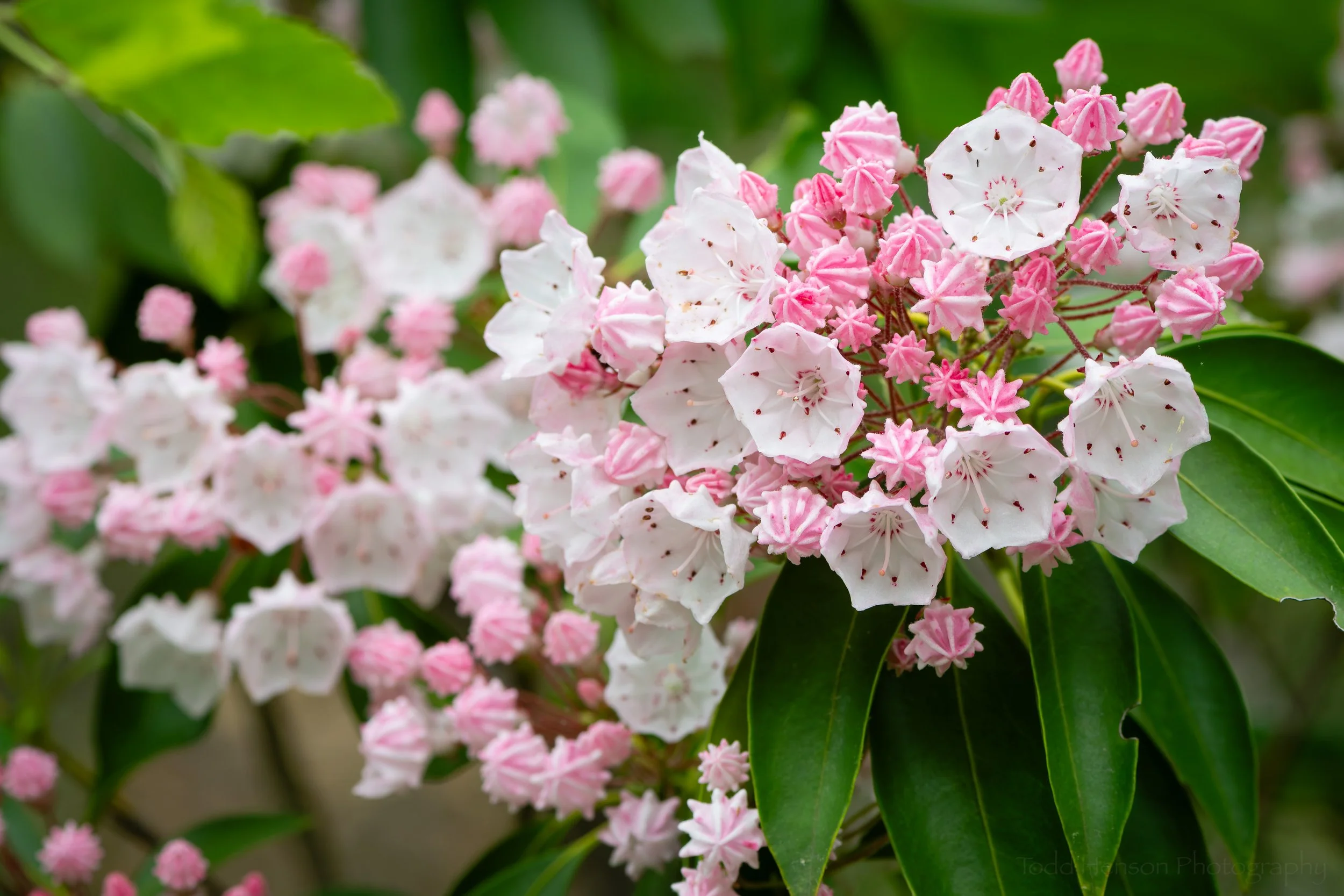
Twelve Northern Virginia Wildflowers of Mid-May to Early June
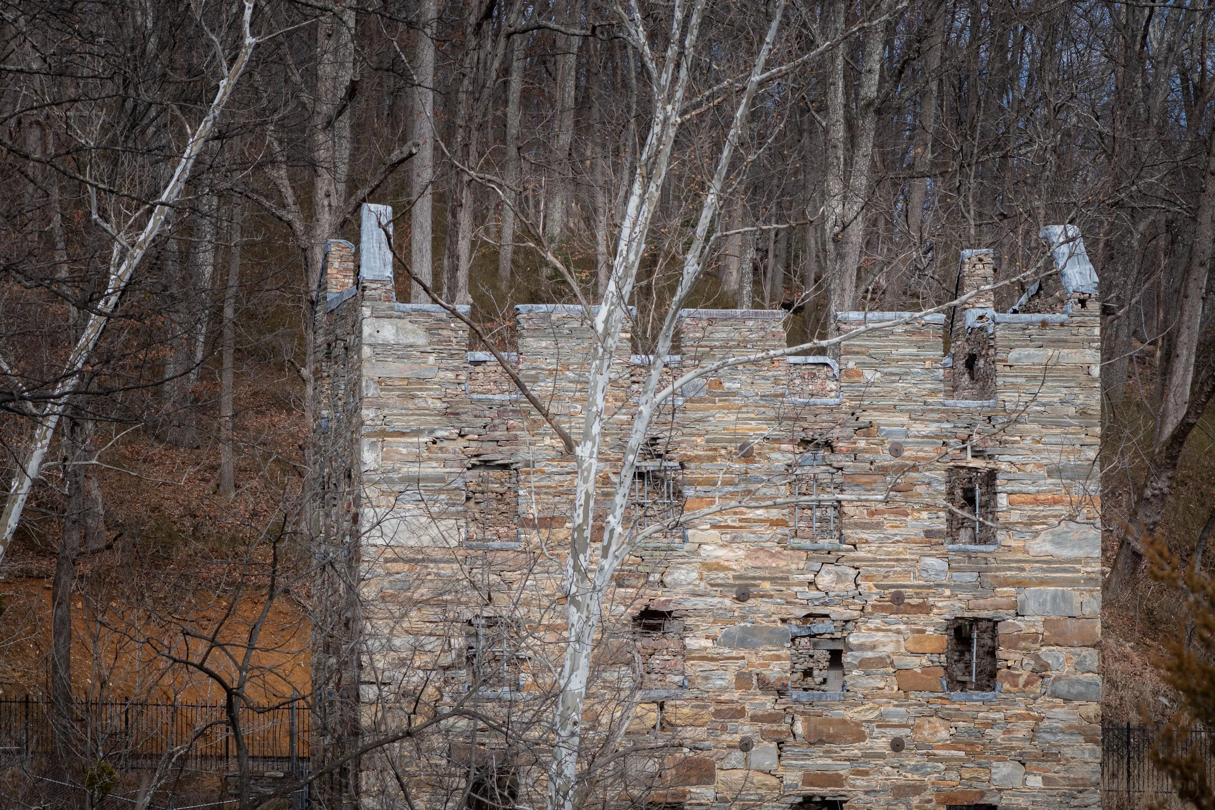
Museums
Random Thoughts
Reading
Reading has been one of my major escapes this quarter when I needed to step aside for a brief bit from all the day-to-day goings on and just relax. Thankfully it’s something I can do just about anytime and almost anywhere with paper books lying all around the house, along with a couple old Kindles, and multiple apps on my phone and computer for both ebooks and audiobooks. As always, I tried to keep some variety to my reading, and this quarter I read fiction in the form of fantasy, horror, science fiction, spy thriller, young adult mystery, poetry, graphic novels, and some general fiction, and non-fiction in the form of history, finance, and art. I don’t know that I read anything old enough to be considered a classic this quarter, so I’ll have to be sure to do that in the 3rd quarter.
The books I consumed this quarter (paper, ebook, and audio).
Here’s the full list of books read in the 2nd quarter of 2026:
Crossroads of Ravens (The Witcher) by Andrzej Sapkowski (2024), More Wealth, Less Taxes by Lance Belline (2022), Essential Bukowski: Poetry by Charles Bukowski (2016), Art in Detail: 100 Masterpieces by Susie Hodge (2016), The Knives (Criminal #11) by Ed Brubaker and Sean Phillips (2025), ‘Salem’s Lot by Stephen King (1975), They Sawed Up a Storm: The Women’s Sawmill at Turkey Pond, New Hampshire, 1942 by Sarah Shea Smith (2010), Gaint’s Bread by Agatha Christie as Mary Mestmacott (1930), Firefly: Magnificent Nine by James Lovegrove (2019), On Her Majesty’s Secret Service (James Bond #11) by Ian Fleming (1963), We Are Legion (We Are Bob) by Dennis E. Taylor (2016), Wolf Worm by T. Kingfisher (2026), Dungeons & Dragons: Honor Among Thieves — The Feast of the Moon by Jeremy Lambert, et al (2023), Krakatoa — The Day the World Exploded: August 27, 1883 by Simon Winchester (2003), Brigands & Breadknives (Legends & Lattes 2) by Travis Baldree (2025), A Man Called Ove by Fredrik Backman (2012), The Russia House by John le Carré (1989), The Case of the Missing Marquess (Enola Holmes #1) by Nancy Springer (2006), Japanese Gothic by Kylie Lee Baker (2026).
And of those, my favorites were:
Japanese Gothic by Kylie Lee Baker
I was already deep into several other books so I don’t know why I grabbed this one from the library, but I’m glad I did. The tale is told as interweaving storylines from 1877 Japan and 2026 United States, and two characters, one from each place and time, who are very surprised to actually meet one another. Each are from troubled families and struggle through major problems, and they keep coming together as the story progresses. I couldn’t stop reading. And now I’d like to find my own copy of the book, as well as try any others the author has written.
This is a classic vampire story and yet it’s my first time reading the book. I do think I may have watched a made-for-tv movie or miniseries when younger but don’t recall for certain. It had that distinctive Stephen King feel to it that I recall so fondly from other books of his I read when younger. King takes his time in the beginning, setting the mood and developing the characters, but the pace picks up nicely when the town starts falling apart. I listened to this one as an audiobook and I loved it.
Krakatoa — The Day the World Exploded: August 27, 1883 by Simon Winchester
Recommended to me by a friend, and another book I listened to as an audiobook, this time narrated by the author. This is a work of nonfiction telling the history of the great volcanic eruption of Krakatoa in 1883. I struggled just a bit in the beginning, wondering when he’d start talking about the volcano, until I realized he was telling a wider history, almost a mini history of the world where all events are connected in some way by the eruption, either in leading up to it or as consequences of it. I loved how the author managed this. An absolutely fascinating read, very well narrated by the author. I very much look forward to more books by Simon Winchester.
Movies, Shows & Anime
I didn’t finish it, but I continued watching Last Exile in the 2nd quarter of 2026.
I can’t remember watching a single movie this quarter. That’s unusual for me. I did watch a few more episodes of the old anime series, Last Exile, which I’m continuing to enjoy.
Music
This quarter I listened less to new music and more to favorites from previous years. Below are three songs I found myself listening to more than once.
Goo Goo Dolls - We Are the Normal
I loved this song when it came out in the early 90’s, and something about the lyrics always resonated with me.
Blink-182 - I Miss You
Another song I loved when it came out, around 2004. This one has some interesting lyrics weaving throughout an otherwise soft and melodic tune.
Joe Satriani - Always with Me, Always with You (from Satriani LIVE)
Joe Satriani is one of my favorite guitarists. He can make his guitar absolutely sing and can write and perform songs in virtually any musical genre. I recall loving this song when it came out and this time I thoroughly enjoyed listening to a live version.
Life
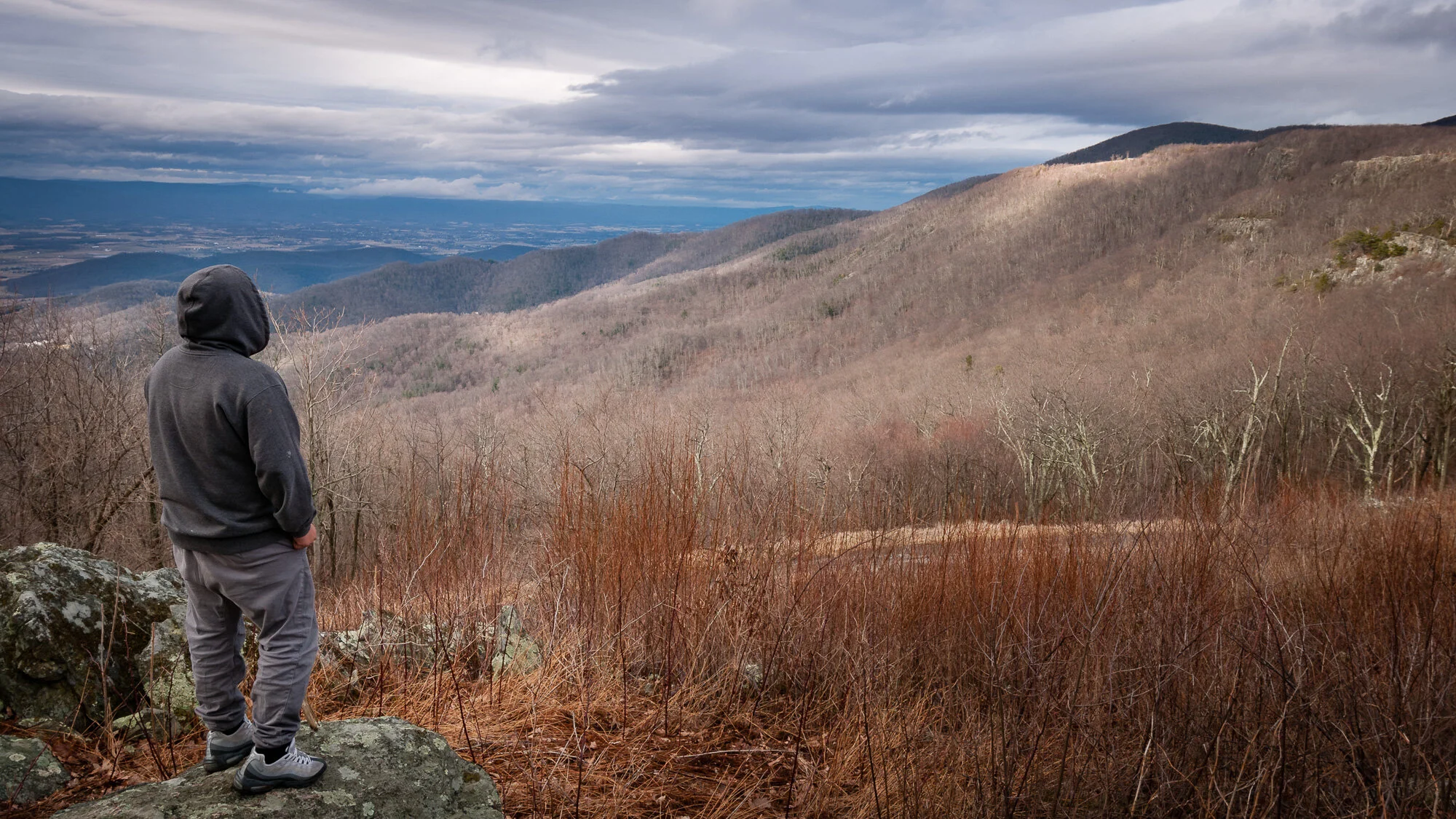
My father and I keep going on our periodic explorations of semi-local areas. Sometimes we’ll revisit favorite locations and other times we’ll look for something new. For some trips we have specific destinations in mind and for others we almost just pick random directions and see where we end up. Sometimes we don’t find much of anything but other times we discover a really cool area or way of getting from here to there. It’s amazing how many interesting locations are out there, seemingly hidden away down this or that side road that we always pass by on the way elsewhere. It’s fun to finally take some of these side roads.
I’ve mentioned this in previous quarters, and this quarter was no different: I love coffee and exploring all I can learn about it. I keep looking for new beans to try, both beans from regions I’ve yet to try, as well as simply different beans on offer from my go-to roasters as the seasons change and they receive new beans from different farms and regions. The primary regions I sampled beans from include Bali, Burundi, Colombia, Ethiopia, and Zambia. Roasters I purchased from this quarter include:
Bluemont Coffee out of Bluemont, Virginia
Red Rooster Coffee out of Floyd, Virginia
Wuuds Coffee out of Front Royal, Virginia.
I’ve had conversations with the owner of Bluemont Coffee about roasting and she’s given me lots of info and encouragement to try roasting coffee beans myself. I decided to start small and purchased a handheld roaster, the Cascabel, from Hive Roaster out of Santa Rosa, California. It might not be as easy to create consistent roasts as with a larger drum or air roaster but it should allow me to learn about the different phases the beans go through and get used to the sights, sounds and smells and what they mean (while also getting a little exercise).
My 3rd attempt at roasting with the Hive Roaster. I’m about 14.5 minutes into what became a 16 minute roast of some beans from Zambia. If you click on the image to see a larger version you can see some small dark bits of burned chaff that come out of the roaster, so I need to sweep up the kitchen after each use.
My very first attempt at roasting went a bit awry when I set off my smoke detector before the beans even got to first crack (even though there wasn’t any visible smoke), so I had to stop the roast way too soon. But I learned a lot from the experience and my second attempt went much better. I dealt with the airflow issues, was able to hear first crack, when the beans start popping similar to pop corn, and finish the roast. Unfortunately, the coffee from these roasted beans tasted a bit sour, which led me to do more research before trying again using different temperatures and times, and resulting in a much better cup of coffee. I think this is going to be a lot of fun as I keep trying, failing, learning, and trying again.
The biggest change in my life this quarter has occupied most of my time and energy. It’s why I decided earlier this year to scale back blogging to every other week instead of every week, to give me a little more time and focus. It was a difficult decision and it’s been a long time coming, but I finally decided I was ready to retire from my day job. I was there long enough that to a great degree it felt like a part of me, and yet it’s felt pretty good and fairly easy to step aside, though I’m still working out a new rhythm. Interestingly, I’ve felt almost as busy as before, just on different things. Now I have more time to work around and in the house, to help my father at his, to read, to explore things like coffee roasting, to work more on my photography, to get back into playing my guitar, to learn new skills and continue practicing old ones, and much more. But I’m trying to be realistic, understanding time is still very limited and I can’t do everything I’d like. I have lots of long-term goals but I know from experience how easily I can get distracted and move on from one shiny thing to the next. So I’ll take it slow. The Road goes ever on and on, and thankfully I’m at the point in my journey where I’m pursuing the Road ahead with mostly eager feet.
Thanks so much for reading. Thanks for all your support. And please have a fantastic third quarter of 2026!
Do you enjoy these posts?
Sign up to receive periodic emails with updates and thoughts. Don’t worry, I won’t spam you. And please consider purchasing artwork or products from my online store, and using my affiliate links in the sidebar to the right when shopping online.
I appreciate your support!