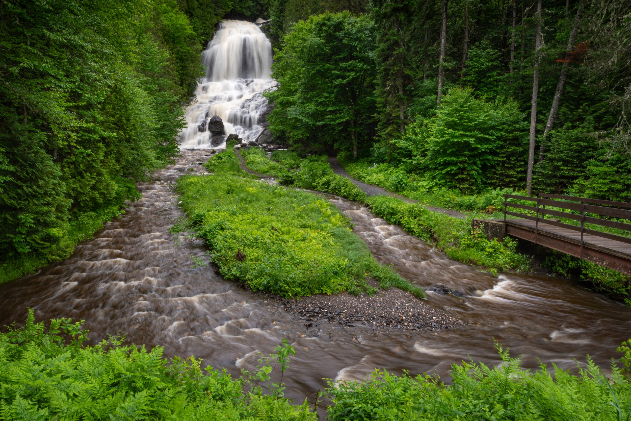
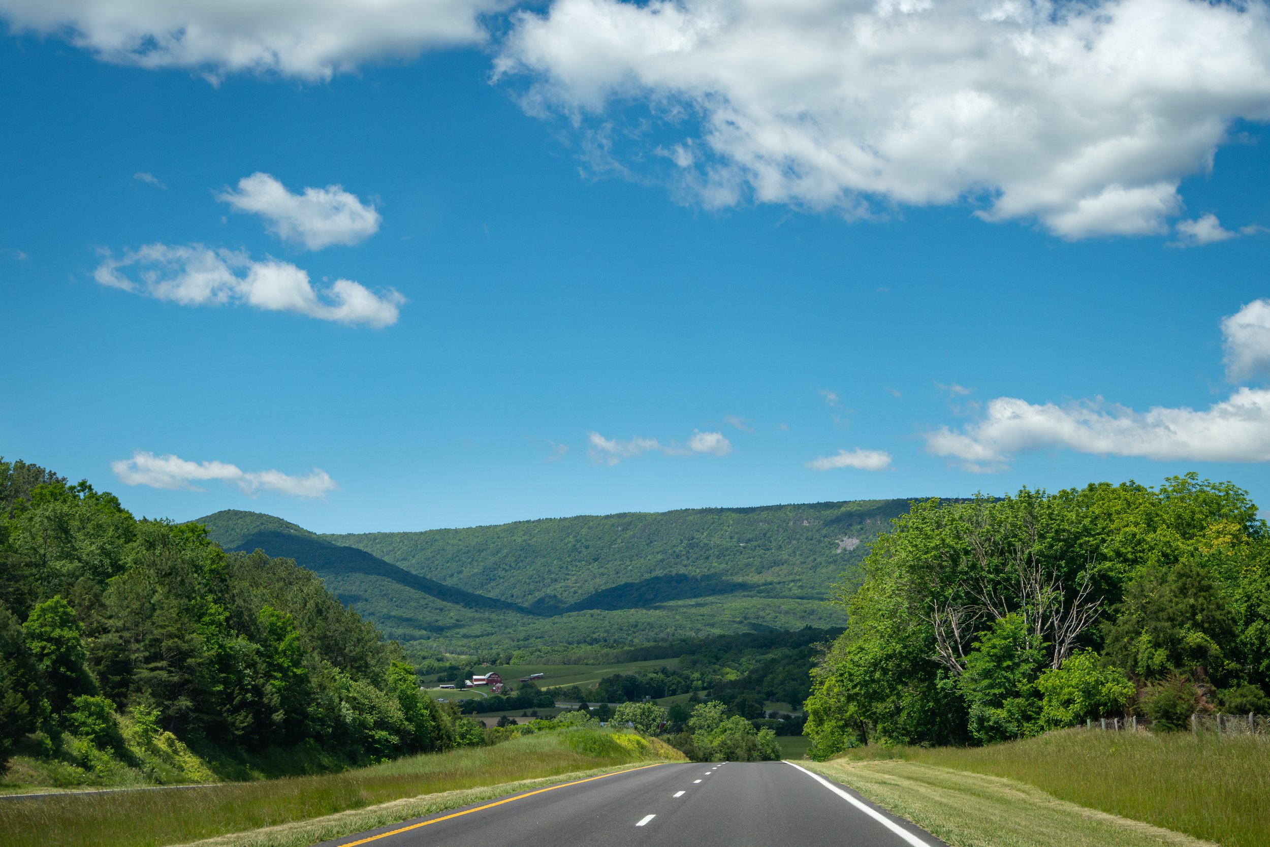
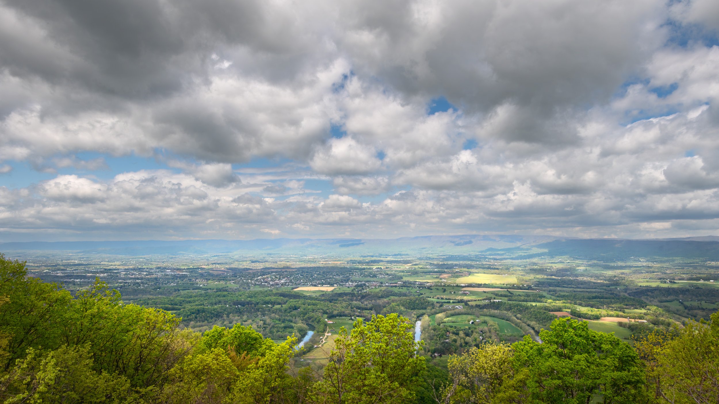
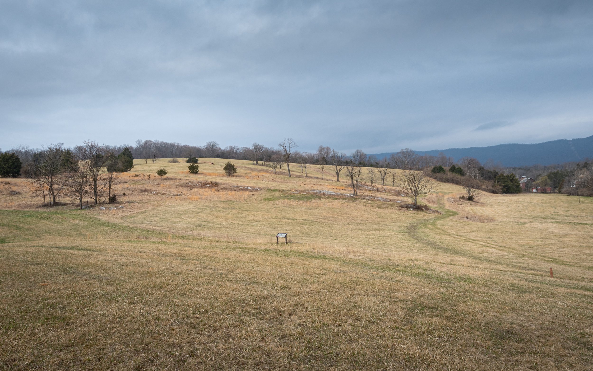
from the road

Woodstock Tower by Todd Henson

In late April of 2025 my father and I found ourselves driving through the scenic Fort Valley of Virginia. I chose to take us out of the valley along Woodstock Tower road which weaves through one of the gaps in the mountains on the western part of the valley, then up and over another mountain before arriving at the lovely town of Woodstock, Virginia. At the highest elevation of the road is a trail that leads up to Woodstock Tower, a metal tower that rises to 2000 feet in elevation, tall enough to provide some magnificent views of both Fort Valley to the east and Shenandoah Valley to the west.

Fort Valley Road is paved, but Woodstock Tower Road quickly changes to gravel once it starts up the mountain and some sections are somewhat narrow, which left me hoping the entire time we wouldn’t meet anyone coming the other way.

Click on any of the images below for a larger view.

Woodstock Tower Road from Fort Valley

Arriving at the highest elevation of Woodstock Tower Road are some very small areas where you can pull off the road and park. The trail up to the tower is well marked with a large sign. Some sections are fairly level and easy, while others do have some elevation change with scattered rocks and/or rocky steps.

Woodstock Tower Trail

Before long we get our first view of the metal Woodstock Tower through the trees. Stepping closer gives a better view.

Hiking to Woodstock Tower

First view of Woodstock Tower

Approaching Woodstock Tower

Woodstock Tower

I found myself stopping partway up the steps, marveling at the landscape appearing above the tree line. I had to keep myself from taking too much time there and instead head up to the very top where the views were amazing. Initially it felt very peaceful, very awe-inspiring, seeing all that distance when in Virginia I’m used to feeling a bit more closed in with rolling hills and lots of trees. But from the tower you can see so much further.

Climbing Woodstock Tower

Facing east we can see the somewhat narrow Fort Valley, where we came from, and the mountains beyond. It was early spring so there were many shades of green as the leaves were just beginning to fill out on the trees of the mountains.

Fort Valley from Woodstock Tower (4-image stitched pano)

To the west is the much wider Shenandoah Valley. Down below we can see the winding Seven Bends portion of the North Fork of the Shenandoah River, given that name because of all the back and forth bends as it travels through the valley. Part of it is within Seven Bends State Park. Further on is the town of Woodstock.

Woodstock and Shenandoah Valley from Woodstock Tower (3-image HDR)

I could have stood there for hours staring out at the landscapes below, though to be honest when the wind picked up I changed my mind and headed back down. 😊

Climbing down from Woodstock Tower

A wider view of climbing down from Woodstock Tower

One final look up at Woodstock Tower

I took one last look back up at the tower, then followed the trail back to the gravel road. Driving down the western side towards Woodstock there were far more switchbacks, some with a little visibility but others blind and far narrower than I liked. Thankfully, the only times we encountered other vehicles were in wider sections of the road where it was easy to pass one another. Not all sections of the road were so wide. Some might require one car to stop to allow the other to pass, and worst case one might need to back up to a wider section, not something I’d care to do on a narrow and winding gravel mountain road.

Woodstock Tower Road towards Woodstock

One of many switchbacks on Woodstock Tower Road

Winding down Woodstock Tower Road

In the end, though, it was a fantastic drive with some incredible views. I’m hopeful we’ll one day return to this area.


Do you enjoy these posts?

Sign up to receive periodic emails with updates and thoughts. Don’t worry, I won’t spam you. And please consider purchasing artwork or products from my online store, and using my affiliate links in the sidebar to the right when shopping online.

I appreciate your support!

An Early Spring Drive Through Fort Valley, Virginia by Todd Henson

Dogwoods along Fort Valley Road

Fort Valley is a fascinating place. It is a valley formed when a continental plate crumpled, pushing mountain ranges upward and this valley downward. The eastern side is Massanutten Mountain, which runs the entire length of the valley. The western side is composed of three mountains almost forming a solid wall but with a couple gaps. To the north is a small gap where Passage Creek leaves the valley somewhere between Strasburg and Front Royal, and where Fort Valley Road enters the valley. From the south requires driving up and down a windy mountain road to get over the mountain. On the western front the two gaps between the mountains have roads heading over to Woodstock and Edinburg. It appears at least one of these roads may also travel up and down over a mountain before completely leaving the valley, though we’ve yet to drive them. For this trip we entered from the north and existed over the mountain to the south.

A first spring view of Passage Creek in Fort Valley

Redbud, dogwood and Fort Valley Road

The valley is almost a sealed system and because of that and how difficult it was to access at the time, George Washington had reportedly thought to use the valley as a natural fort to retreat to had the Continental Army been defeated by the British during the Revolutionary War. Seeing as that didn’t happen the valley was never used in that way, though it did become home to a couple blast furnaces used to create pig iron which were shipped to foundries and forged into other products. During the Civil War the Confederacy made use of the furnaces until Union troops destroyed them. One of the furnaces was rebuilt after the war but it closed shortly after as it was no longer competitive enough to stay in business.

Rustic views along Fort Valley Road

Redbud and the road

These days the valley is lightly populated with private homes and farms and is home to several recreational areas. We saw a number of folks fishing along the length of Passage Creek, and saw a number of areas for camping. And it’s also great for an early spring drive.

Bends in Fort Valley Road

Rolling valley hills


Do you enjoy these posts?

Sign up to receive periodic emails with updates and thoughts. Don’t worry, I won’t spam you. And please consider purchasing artwork or products from my online store, and using my affiliate links in the sidebar to the right when shopping online.

I appreciate your support!


Spring Roadtrip Along Franklin Pike, West Virginia by Todd Henson

A winding road through West Virginia in early spring

My father suggested a roadtrip into West Virginia the first weekend of April, which led us through some beautiful mountains and valleys. Heading south from Petersburg along Franklin Pike we saw many scenes like the one here, absolutely beautiful country roads weaving through the valley in early spring. It was a wonderful drive with only a very brief moment when it almost began to drizzle.


Do you enjoy these posts?

Sign up to receive periodic emails with updates and thoughts. Don’t worry, I won’t spam you. And please consider purchasing artwork or products from my online store, and using my affiliate links in the sidebar to the right when shopping online.

I appreciate your support!