Today I don’t have any standout artistic photographs to share, but instead wanted to take you along for a Virginia road trip my father and I made in late May of 2025. I tried to capture moments on the road that appealed to me, perhaps because of a curve in the road, hills or mountains in the background, or just about anything else of interest. The photos begin on Sperryville Pike (522) after leaving Culpepper heading west and end on John Marshall Highway (55) east on the way towards Haymarket. I hope you enjoy this little excursion
Click on any of the photos for a larger view.
West Towards the Blue Ridge Mountains
We began the day by taking a left at an intersection where we’d only ever taken a right, with no idea what to expect. After passing through some rolling hills with plenty of farm land and taking a few more turns we found ourselves in Culpepper. Instead of hanging out in town we ended up on Sperryville Pike heading west towards Sperryville, and from there heading west on Lee Highway (211) over the Blue Ridge Mountains.
Heading west on Sperryville Pike after leaving Culpepper
The closer we got to Sperryville the more hilly it became
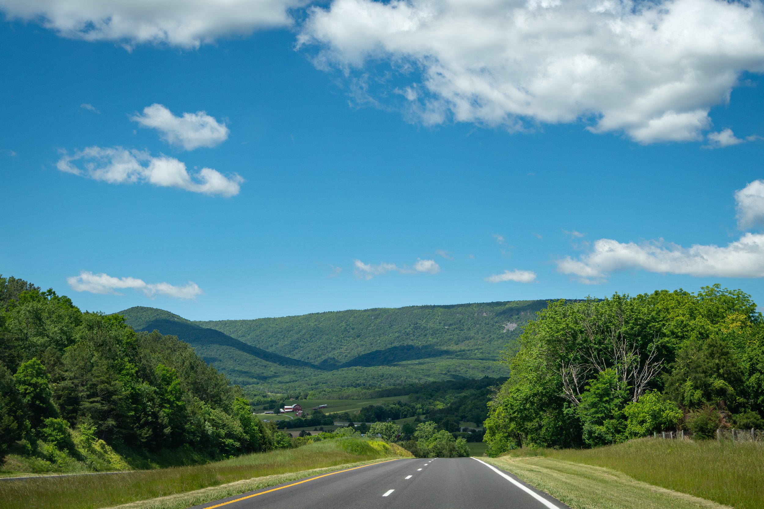
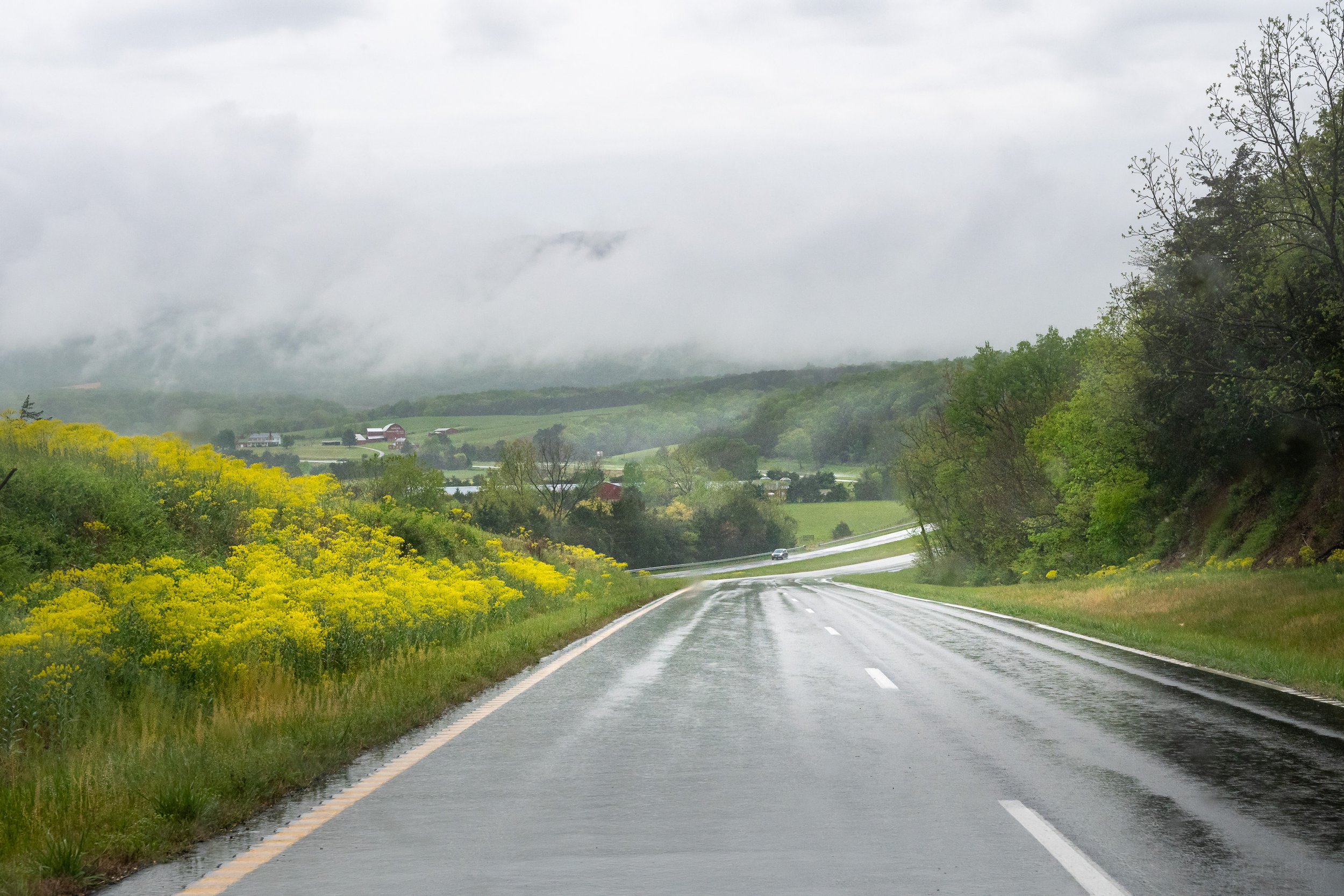
Between Blue Ridge and Massanutten Mountains
After we passed over the Blue Ridge Mountains and through part of Shenandoah National Park we continued west on 211 through Luray (known for their caverns), past Cooter’s Place (for any Dukes of Hazzard fans out there), and then over Massanutten Mountain which bisects part of Shenandoah Valley.
Driving 211 west past Luray and towards the mountains
Continuing west on 211
West on 211 approaching the mountains
Taking 211 over Massanutten Mountain
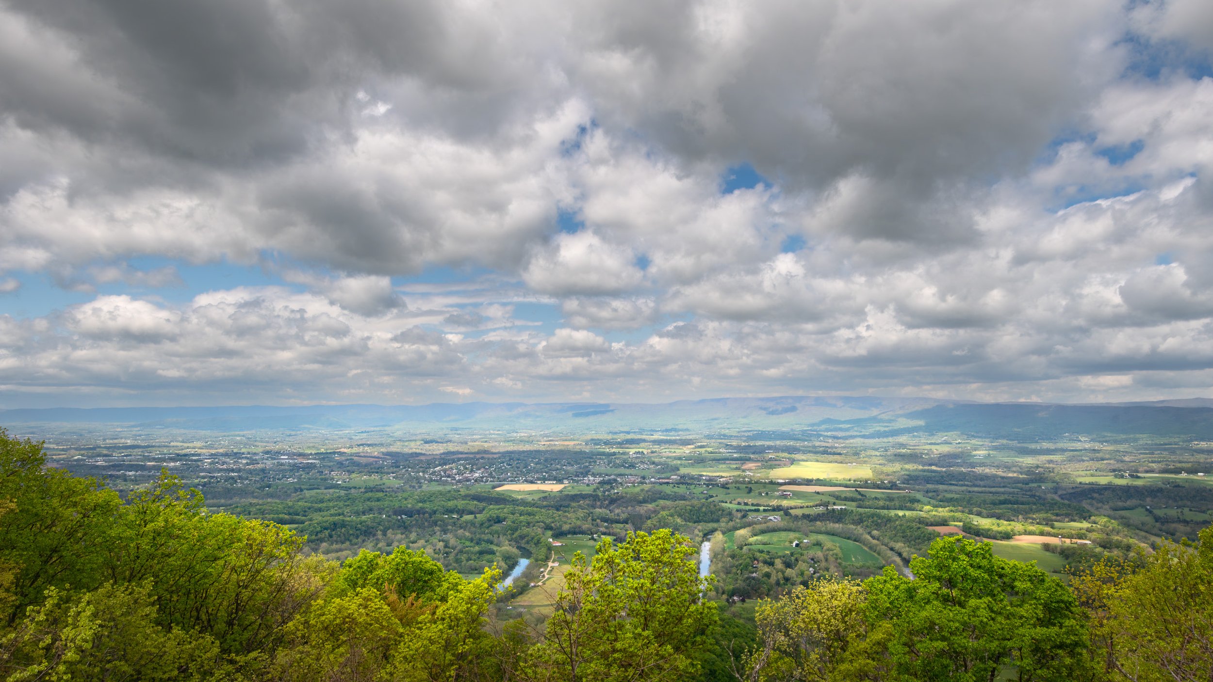
North Through Shenandoah Valley
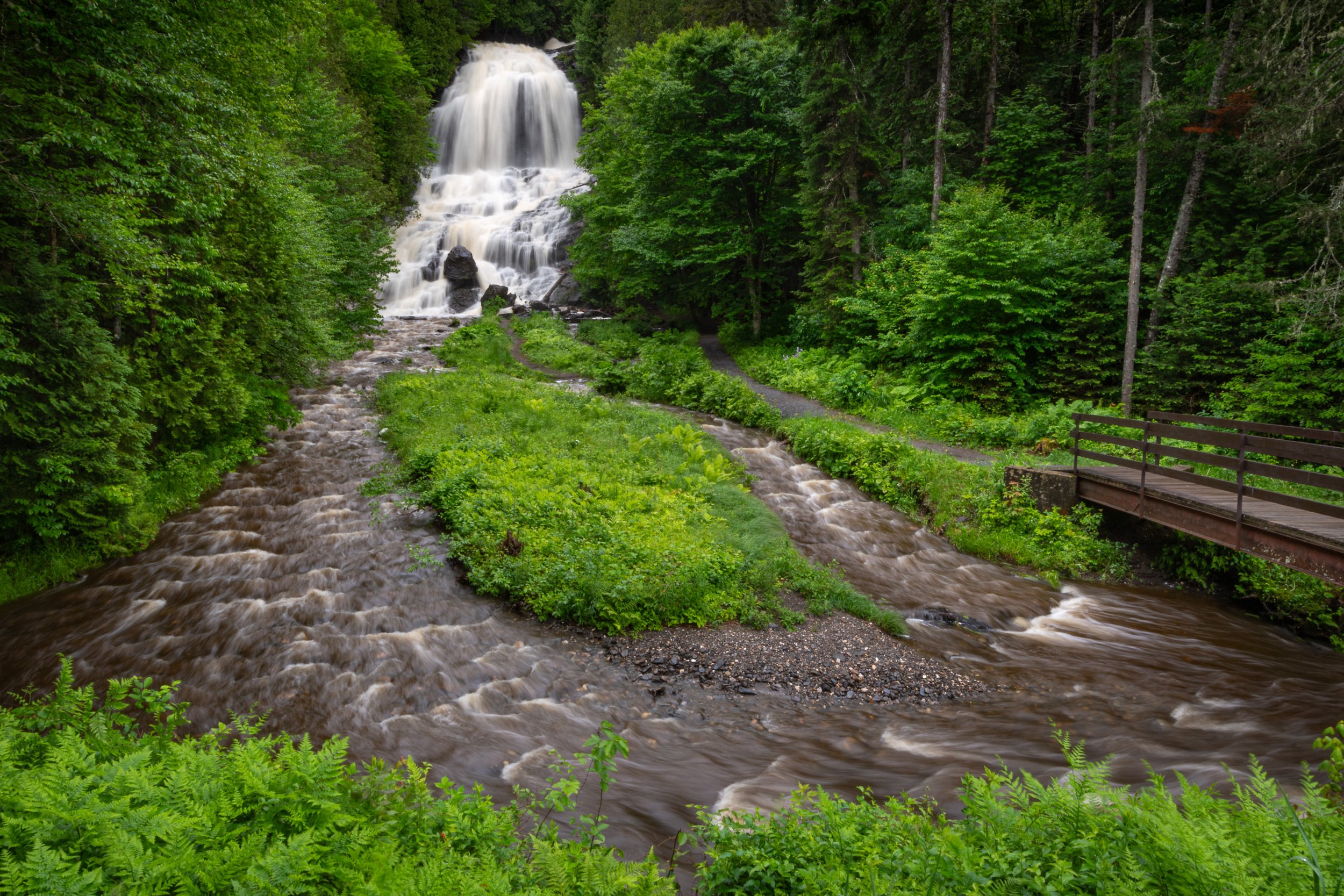
Once we hit New Market we headed north on Route 11, taking a brief detour onto Caverns Road to stop by the Route 11 Potato Chip factory. From there we returned to Route 11 by way of Wissler Road which took us through the historic Meem’s Bottom Covered Bridge. Once back on Route 11 we headed north through Mount Jackson and eventually got on 55 heading east through Front Royal.
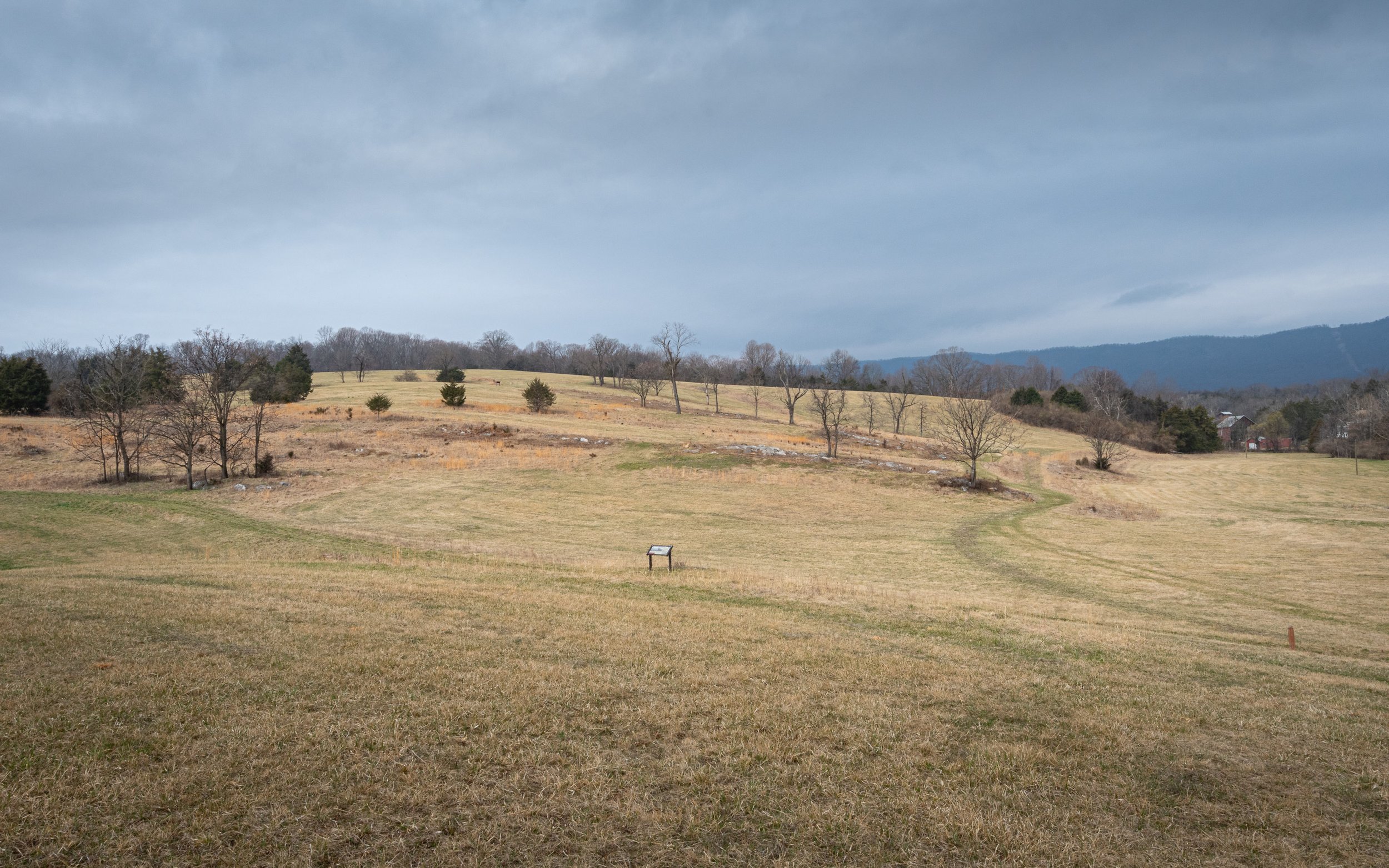
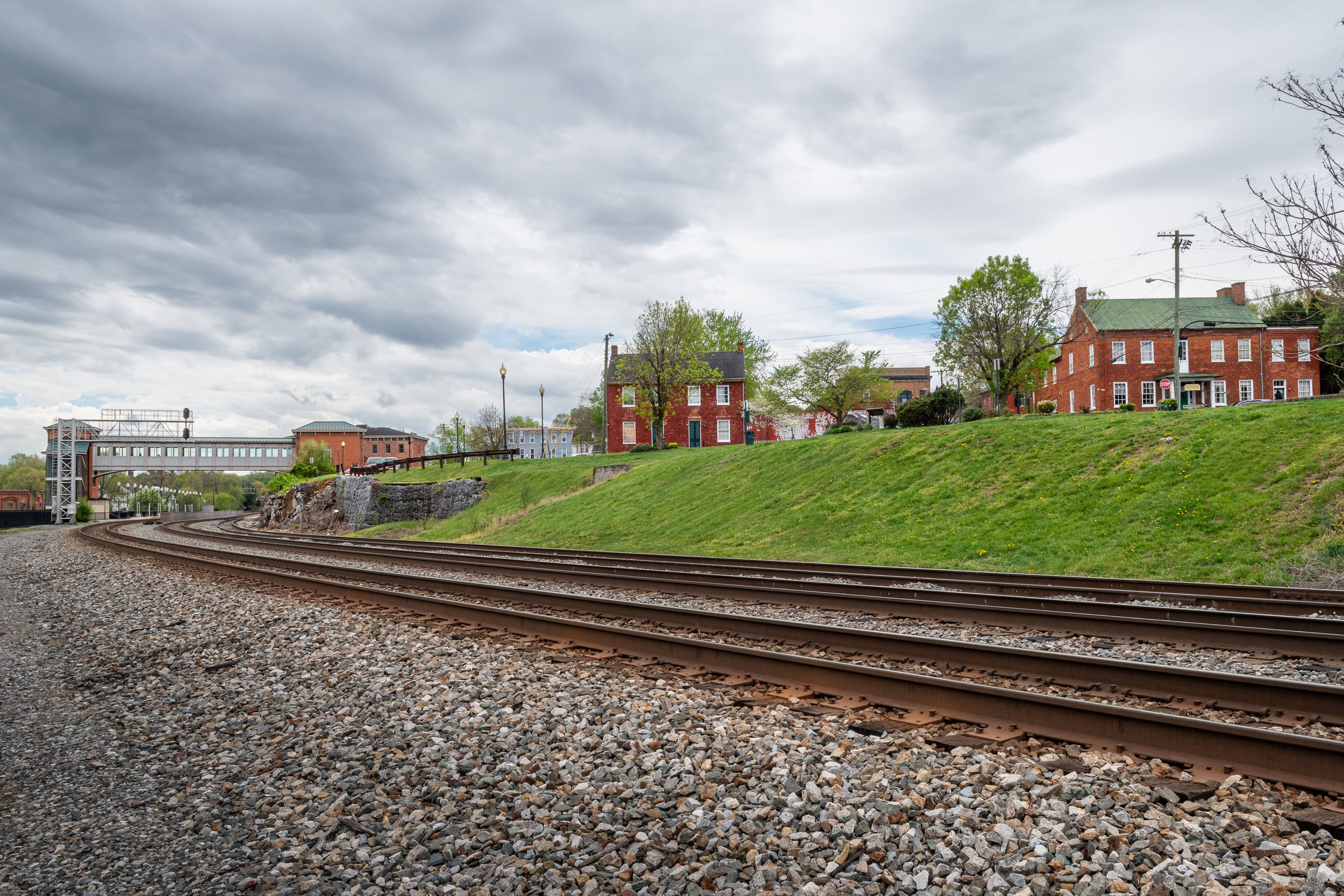
Passing the 54th Pennsylvania Volunteer Infantry Regiment Monument on Route 11 north
Driving on Cavern Road over 81 and looking south
Approaching Meem's Bottom Covered Bridge from the west
Main Street (Route 11) heading into Mount Jackson from the south
We saw this old Texaco pump in Mount Jackson
East on John Marshall Highway
After leaving Front Royal, instead of taking 66 back east, which would have been faster, we opted for the smaller John Marshall Highway, 55. There’s generally a lot less traffic and just as much if not more scenery. It also passes through several towns, such as Marshall (originally Salem) and The Plains, though I didn’t capture any decent photos of these towns on this trip. But I did slow down the shutter speed for a little fun with the final photo.
Heading east out of Front Royal on Route 55
The Barn off Grove Lane (55), approaching Marshall
Driving on 55 somewhere between The Plains and Haymarket, with a slower shutter speed to show some motion
Do you enjoy these posts?
Sign up to receive periodic emails with updates and thoughts. Don’t worry, I won’t spam you. And please consider purchasing artwork or products from my online store, and using my affiliate links in the sidebar to the right when shopping online.
I appreciate your support!