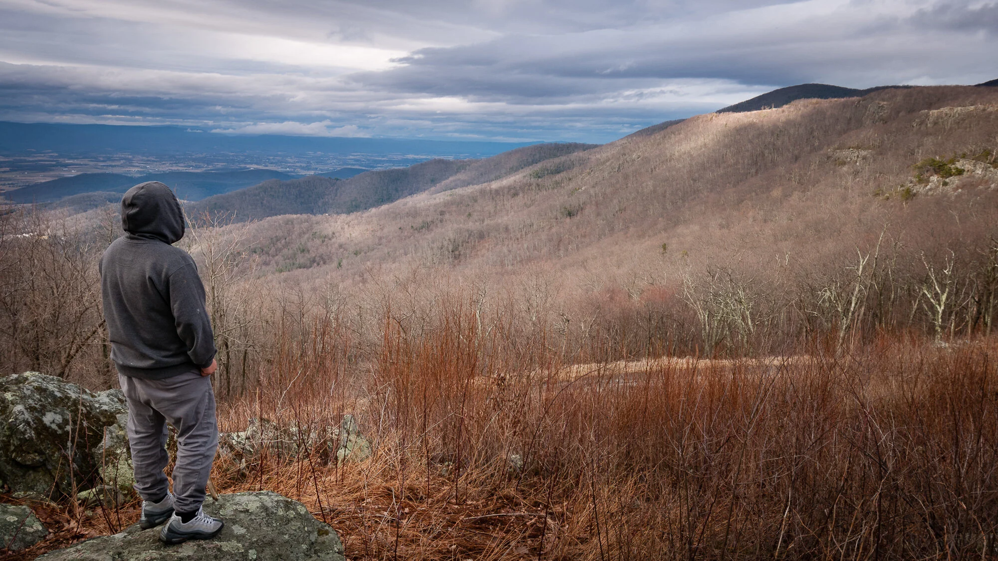
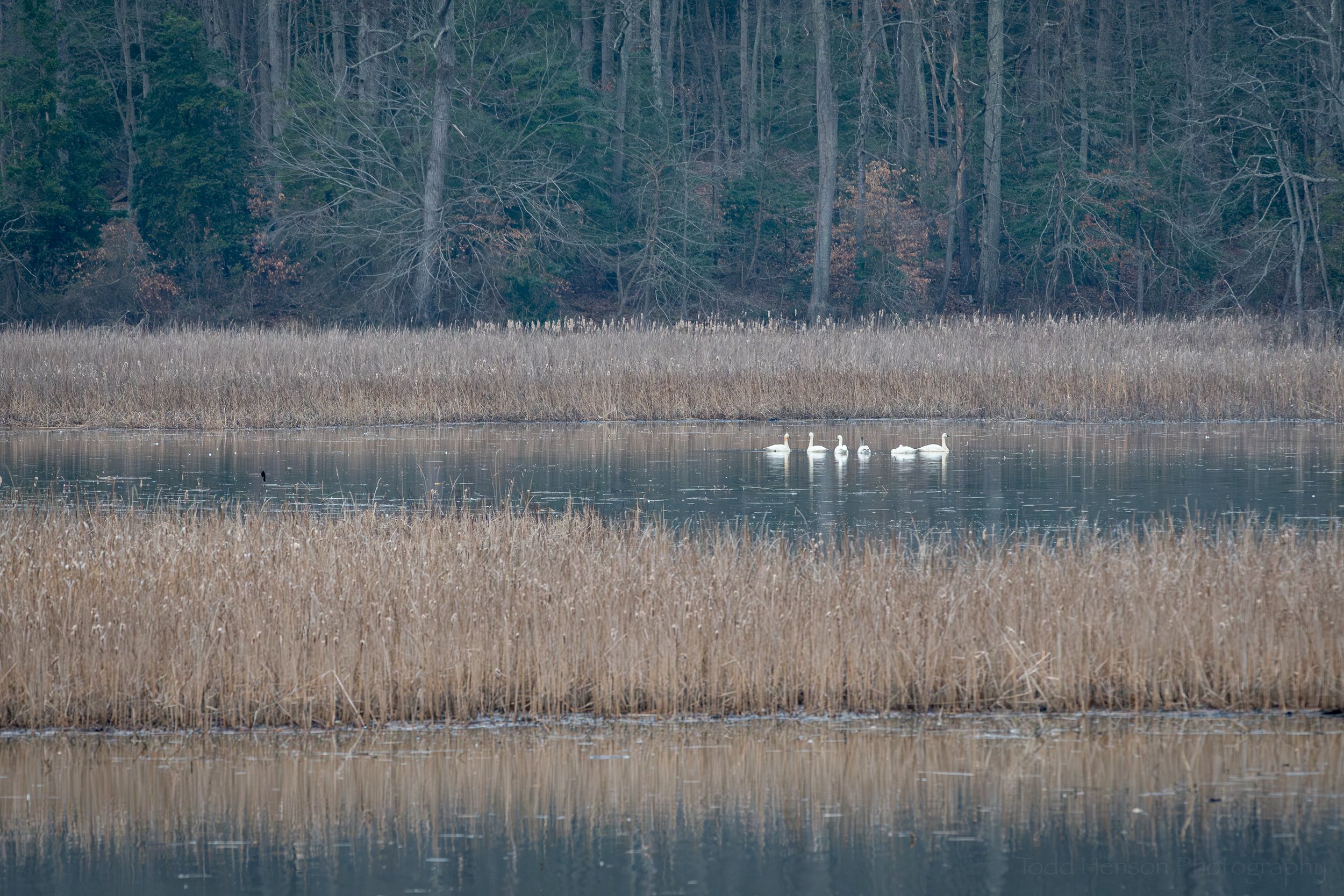
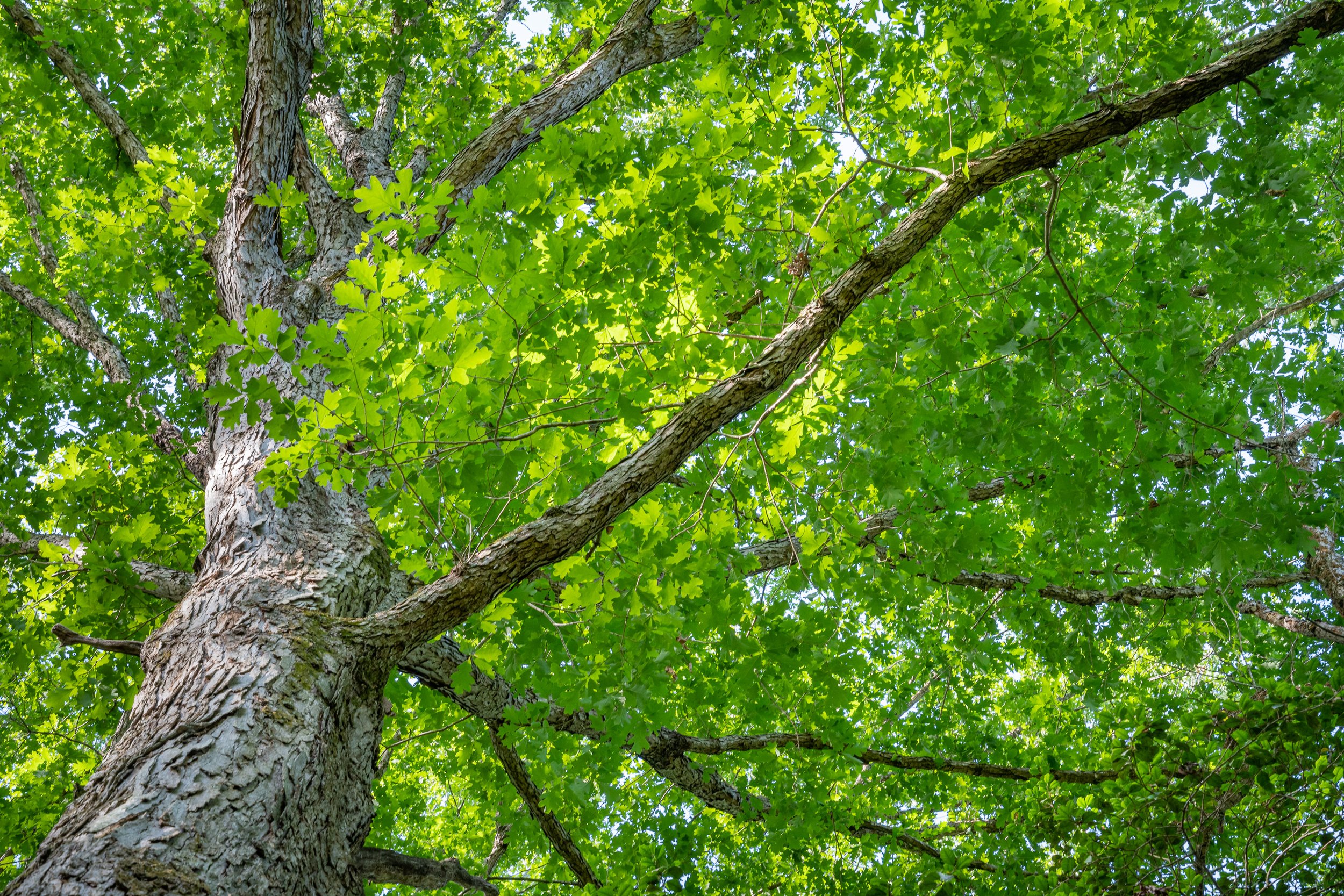
Sometimes it’s fun to take you along with me, virtually, as I hike a trail, showing you many of the various sights I see, giving you a feel for the location and time of year. In this case I decided to hike a trail my father and I had hiked part of in the past. This time I was on my own and wanted to try hiking a little further than we’d been before. Little did I know when I set out that I’d spend about 3 1/2 hours hiking a large loop instead of just heading in and back out on the same path as I’d initially planned. Because of the length of the trip and all I saw this will be a rather long and photograph heavy post, but I’m hoping you’ll enjoy seeing the variety a late fall morning offered.
I began the hike around 7:28 am in Prince William Forest Park in Prince William County, Virginia. It’s become one of my favorite parks. It doesn’t have any iconic grand landscape views but is full of smaller, more intimate scenes that I just love, not to mention all the various plants and critters. It was the first week of November, so late autumn when the leaves are very actively falling from the trees. I parked at the lot along the beginning of Mawavi Road, interestingly named by an early camp user by taking the first two letters of Maryland, Washington, and Virginia and stringing them together.
Below is what Mawavi Road looks like. It’s a gravel road that slowly winds downhill to South Fork Quantico Creek. I’m going to include a number with each photo today to give you an idea of how many photos I sometimes create during a hike. Each time I go out I number the photos from 1 to whatever so I know how many photos I created on each outing.